Ascent – 1687 ft.
Descent – 1674 ft.
Min Elevation – 4267 ft.
Max Elevation – 5260 ft.
High Resolution Topo Maps
 A trail that is great early/late season due to the reduced snowfall in this area and South facing orientation (for the most part). A heads up to beginner and lower level intermediate riders; this is probably not a great trail for your first few rides of the season due to the very tight switchbacks and the width of the trail with off chamber sections. There are a few different options how one can ride this trail. Most riders will park at the visitor’s center just off the main road and either ride up the Middle View Trail or up the ‘Eastside Trail’ (singletrack). The ‘eastside trail’ is steep with technically challenging switchbacks sprinkled throughout the climb as where the Middle View trail is a little more manageable in regards to grade but has some VERY tight switchbacks. As you leave the
  lower lot, the trail will parallel the road up to the gate (closed during the late fall, winter, early spring months). Once reaching the gate the trail will head east (right). You are only given a very short time to warm-up upon leaving the parking lot before the climbing begins with a few short but steep pitches mixed with loose rock. As the trail continues to climb take a few moments to absorb the beautiful views (and maybe catch your breath) of the surrounding mountains and valleys. The trail maintains a relatively steady grade with a few flat areas to catch a few extra breaths of that ever so needed O2. Upon reaching the first summit (2.25 miles) there is a small junction showing another trail going up to the right (stay left on the more traveled path, going right is for hikers only). The trail will descend for a little while into some dense forest which will intersect the road that leads to the upper visitor center. Go under the road through the tunnel and continue to climb up towards the visitor center. This section of trail has a few rocky technical moves required. At 4.25 miles you will arrive at a junction, going left, ‘Middle View Trail’ will
  take you along the ridge and then descend down towards the campground for a nice loop. If you decide to go right at the junction the trail will make a few more switchbacks, making its way to the parking lot just below the upper visitor’s center. The last 100 feet of this part of the trail is VERY steep and require most to walk. Once at the visitor center you have the option to ride back from where you came or you can ride past the cafe and down a steep and very fast single track known as ‘Cave Gulch Trail’ (keep your speed under control). At the bottom of the descent stay left. When you arrive at the next two junctions the trail will connect with ‘Middle View Trail’. Continue on the, ‘Danmore Gypsum Mine Trail’ and enjoy some fast and flowy sections, as you ride through the lower portion of the trail systems and end back at the visitor center.
For more information about Lewis and Clark State Park click here.
Driving Directions:
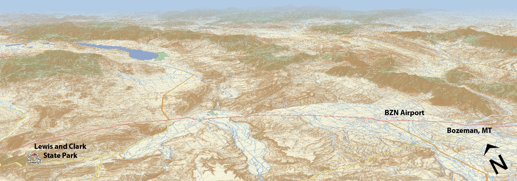
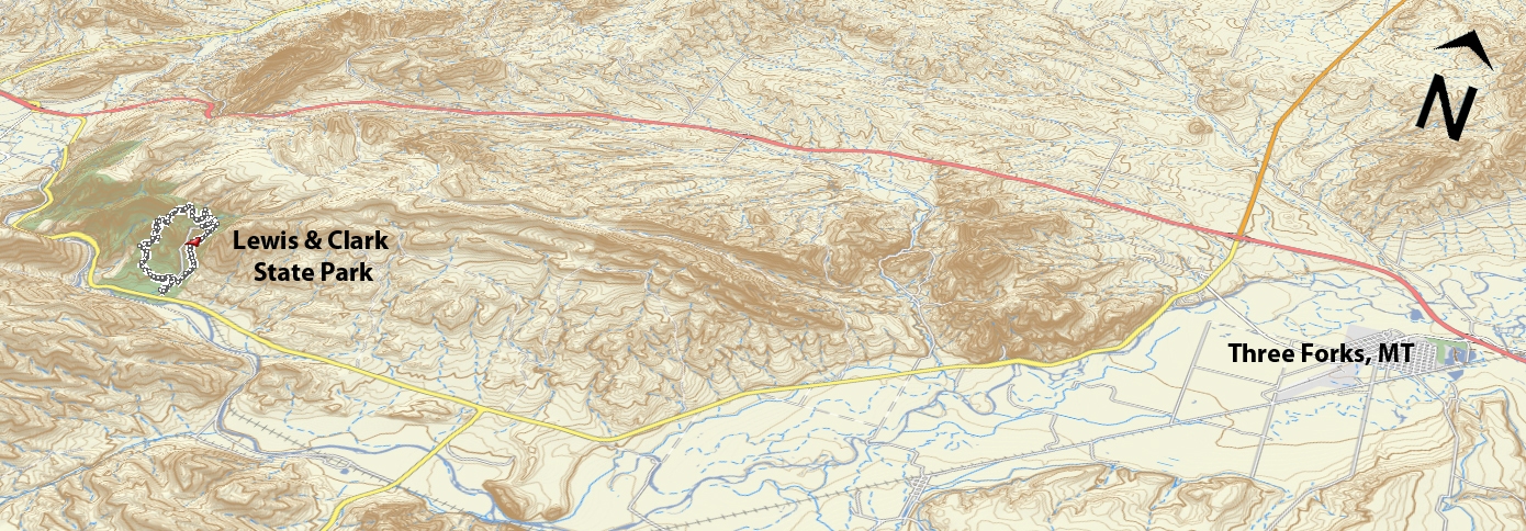
From Bozeman, head north on either 7th or 19th and turn left on I-90W towards Butte. Drive 32 miles and take exit 274 (US-287 S). Turn Left on US-287 (over the highway) and continue another 11 miles to MT-2 W. Turn right on MT-2 W for 5 miles and Lewis and Clark State Park will be on your right.
Google Maps Driving Directions (IOS and Android compatible)
Lewis and Clark State Park


